Inland Waterways Research
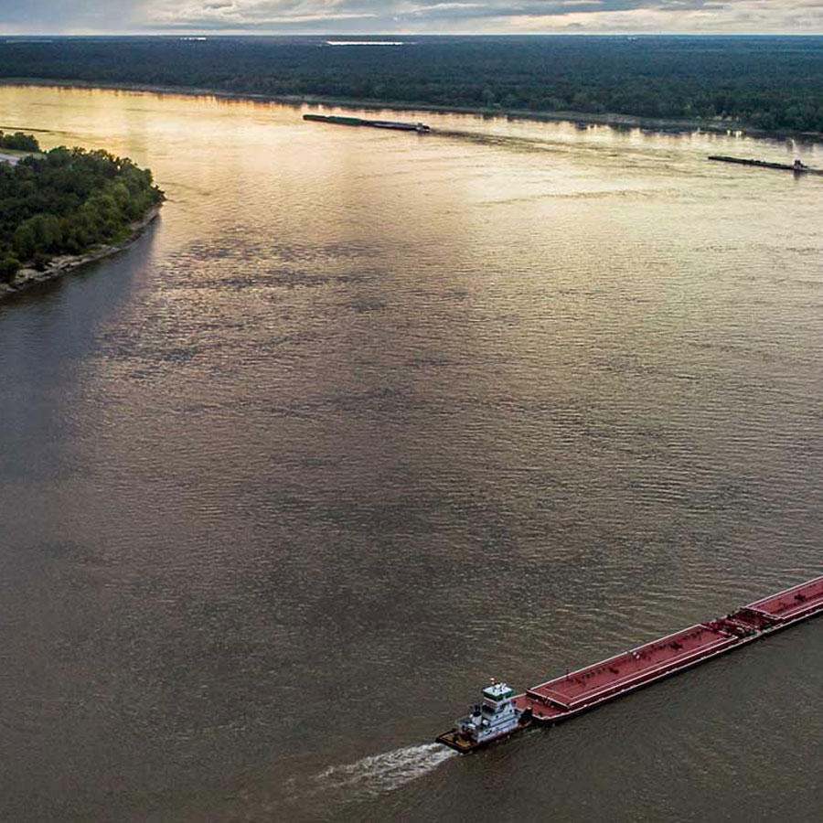
America’s inland waterways are among our oldest and most reliable means of moving both people and freight. Even today, the more than 10,000 miles of navigable waterways safely and affordably accommodate roughly 560 million tons of freight annually. Because the waterways that support navigation are also controlled generate electricity, prevent flooding, supply water to municipal and commercial users, irrigate crops, and enhance recreation, these systems are generally built, maintained, and operated by the U.S. Army Corps of Engineers. CTR faculty and staff are among the Corps’ most long-standing partners and the Center has provided a variety of analytical products to Corps districts and divisions from Portland to Mobile.
Inland Waterway Segments & CTR Experience
Tennessee and Cumberland Rivers
CTR faculty and staff, led by Dr. Larry Bray, have decades of experience working with nearly every aspect of navigation on the Tennessee and Cumberland Rivers, including the development of primary data, the execution of benefit-cost analyses, assessments of local and regional benefits, and the analysis of various operating issues. These waterways are our home.
Ohio River and Tributaries
The Corps of Engineer’s Huntington District is home to the Army’s Planning Center of Expertise for Navigation, and CTR is one of the Nav Center’s most relied upon partners. For nearly four decades, CTR personnel have supplied analyses focused on the Ohio River, Ohio tributaries, and the other inland waterway system components that require Navigation Center support.
Upper Mississippi and Tributaries
The upper Mississippi and its tributaries – particularly the Illinois River – comprise the most complex and important segments of the inland navigation system. Through our involvement with the Corps’ Navigation Center in Huntington and directly through the Rock Island, St Louis, and Chicago Districts, CTR navigation experts contribute to analytical work in the region. This work began during the contentious consideration of Lock & Dam 26, extended through the upper Mississippi and Illinois Waterway studies of the 1990s and continues today as evidenced by our contributions to the recent Chicago Area Waterway System (CAWS) analysis.
Gulf Intracoastal and Tennessee-Tombigbee Waterways
Every segment of the inland waterway system has distinct characteristics and this is certainly true of the GIWW, where petroleum refiners and chemical manufacturers place huge demands on a waterway infrastructure that is continually challenged by climate and geological challenge that are unique to the region. CTR navigation experts have worked regularly throughout the Gulf from Houston to Mobile and have developed a deep-seated appreciation and understanding of the region’s unique transportation requirements.
Contact for information on Inland Waterways Research: 865-974-5255